Wildflower enhancements and crop yield improvement
This tool presents a spatially implicit ordinary differential equations (ODEs) model designed to determine the optimal wildflower-to-crop ratio based on factors such as the attractiveness, nutritional advantages, and blooming duration…
Beporzó-barát városok (Pollinator-friendly cities)
This leaflet provides documentations for citizens and policy makers on how to support pollinator insects in urban habitats. This leaflet is in Hungarian, but its content can be widely applicable…

Paper: Bumblebee microcolonies and pesticide risk assessment
This article provides a description on the methods to create/maintain bumblebee microcolonies, as well as recommendations for standardising studies, based on microcolonies. This article is titled “Bombus (Hymenoptera: Apidae) Microcolonies…

Paper: Model for pollinator resources and ecosystem services
This article has as main output the development of a pollinator model that (1) integrates floral and nesting resources; (2) considers population growth within and between years; (3) allows for…
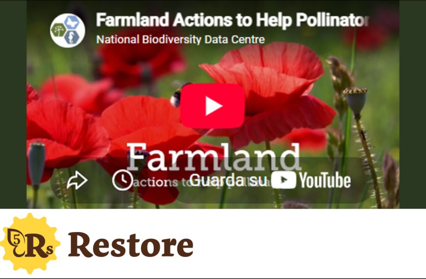
Farmland actions to help pollinators
This video has been created through County Waterford’s Creative Ireland Scheme. The video explains five evidence-based actions to help make farmland more pollinator-friendly. Topics discussed in this video can inspire…